Passo di San Giacomo
Val Formazza - Val Bedretto
und das große Bild durch anklicken an irgendeiner Stelle
wieder geschlossen werden.
Nur möglich, wenn im Browser Javascript aktiviert ist.
Außerdem muß die Seite bei Popup-Blockern freigegeben werden.
Falls das nicht geht, gibt es diese Seite Javascript-frei für alle Browser hier: > Javascript-free Version <
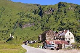 | 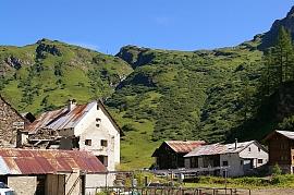 | 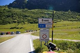 |
| Formazza - Riale (1740 m - 5709 ft) | Formazza - Riale - Strada San Giacomo (oben am Berg / on top of slope) | Formazza: Riale - Strada San Giacomo |
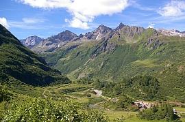 | 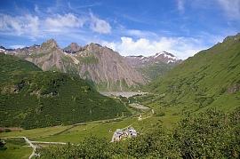 | 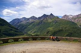 |
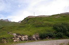
| Strada San Giacomo - von links / from left: Monte Giove - Cima della Freghera - Corni di Nefelgiu | Formazza: Riale - Furculti (mit Antenne / with antenna) - Lago di Morasco - hinten von links / background from left: Gemelli di Ban - Corno di Ban - Punta della Sabbia - Punta dei Camosci (Bättelmatthorn, 3046 m - 9993 ft) | Formazza - Strada San Giacomo - Furculti (mit Mast / antenna) - von links / peaks from left: Monte Giove (3009 m - 9872 ft) - Cima della Freghera (2726 m - 8944 ft) - Corni di Nefelgiu (2951 m - 9682 ft) - rechts hinten / right backgr.: Punta del Ghiacciaio di Ban (2975 m - 9761 ft) |
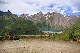 |  | 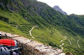 |
| Formazza - Strada San Giacomo: Lago di Morasco (1815 m -5955 ft) - Furculti (mit Antenne / with antenna) - links / left: Corni di Nefelgiu - Mitte / center: Punta del Ghiacciaio di Ban - Gemelli di Ban (2949 m - 9675 ft) - Corno di Ban (3027 m - 9931 ft) - Punta della Sabbia (2957 m - 9701 ft) - rechts hinten / right background: Corno Rosso (3287 m - 10784 m) | Formazza: Riale - Fiume Toce - Strada San Giacomo | Formazza - Strada San Giacomo - Corno Talli |
 |
 | 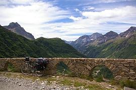 |
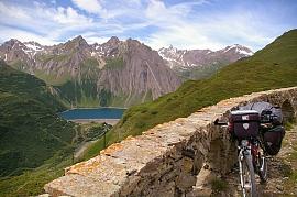
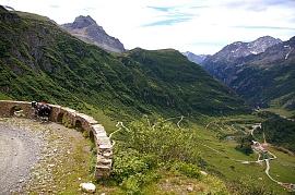
| Formazza - Strada San Giacomo | Formazza - Strada San Giacomo - links / left: Corni di Nefelgiu - Mitte / center: Punta del Ghiacciaio di Ban - Gemelli di Ban - Corno di Ban - Punta della Sabbia - rechts hinten / right background: Corno Rosso | Strada San Giacomo - links / left Corno Talli - (Vorgipfel des / foresummit of Monte Basòdino) Monte Giove - Cima della Freghera - Punta di Balma Rossa (2818 m - 9245 ft, ganz rechts / far right) |
 |  | 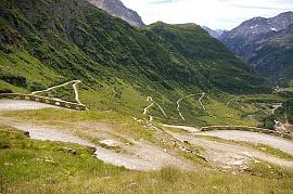 |
| Formazza - Strada San Giacomo Lago di Morasco (1815 m -5955 ft) - von links / left: Punta del Ghiacciaio di Ban - Gemelli di Ban - Corno di Ban - Punta della Sabbia - Corno Rosso - Punta dei Camosci | Strada San Giacomo - Riale - Frua (ganz unten / far below) - links / left: Corno Talli - rechts / right: Monte Giove | Formazza - Strada San Giacomo |
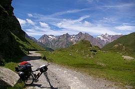 | 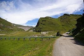 | 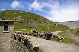 |
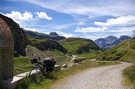
| Val Toggia - Punta del Ghiacciaio di Ban - Gemelli di Ban - Corno di Ban - Punta della Sabbia - Corno Rosso (hinten / background) | Val Toggia: Diga (Staudamm des / barrage of Lago Toggia) | Val Toggia: Diga |
 |  |
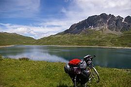 |
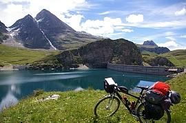
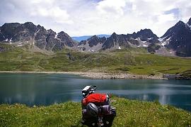
| Val Toggia: Diga (Staudamm des / barrage of Lago Toggia) - Zacken Mitte / peak in center: Corno Talli (2703 m - 8868 ft) - rechts hinten / right background: Monte Giove - Punta Clogstafel (2963 m - 9721 ft) | Val Toggia - Lago Toggia (2191 m -7188 ft) - Punta del Castel (Kastelhorn, 3128 m - 10262 ft) - Monte Basòdino (3273 m - 10738 ft rechts daneben wenig sichtbar / right aside, few visible) - Corno Talli | Val Toggia - Lago Toggia - Passo di San Giacomo - Punta del Termine (2962 m - 9718 ft) |
 | 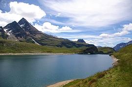 | 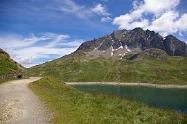 |
| Val Toggia - Lago Toggia - Punta del Termine (links / left) - Corni di Boden (2715 m - 8907 ft, rechts / right) | Val Toggia - Lago Toggia - Punta del Castel - Monte Basòdino (rechts daneben wenig sichtbar / right aside, few visible) - Corno Talli | Val Toggia - Lago Toggia - Punta del Termine (Marchhorn) |
 |
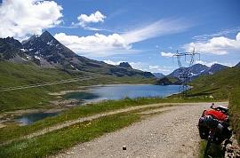 | 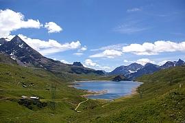 |
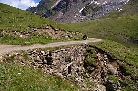
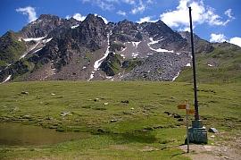
| Val Toggia - Strada San Giacomo | ^ Val Toggia - Lago Toggia - ^ hinten von links / background from left: Corni di Boden - Punta del Castel - Corno Talli - Monte Giove - Punta Clogstafel | ^ Alpe Regina - Lago Toggia - ^ hinten von links / background from left: Punta del Castel - Corno Talli - Monte Giove - Punta Clogstafel - Corni di Nefelgiu |
 |  |  |
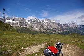
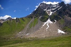
| Val Toggia - Strada San Giacomo | Passo di San Giacomo (2313 m - 7589 ft) - Zollhäuschen / dogana svizzera antica hinten / background: Pizzo Grandinagia (2774 m - 9101 ft) - rechts /right: Pizzo San Giacomo | Passo di San Giacomo Pizzo San Giacomo |
 |
 |  |
| Passo di San Giacomo - Croce San Giacomo (2320 m - 7612 ft) Pizzo San Giacomo (2924 m - 9593 ft) | Passo di San Giacomo - von links / from left: Poncione di Manio - Chüebodenhorn - Pizzo Rotondo - Pizzo Lucendro (ganz rechts - most right) | Passo di San Giacomo - Pizzo San Giacomo |
 |  |
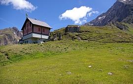 |
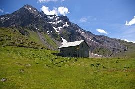
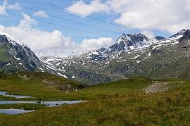
| Passo di San Giacomo - Chiesetta San Giacomo (2254 m - 7395 ft, Mitte / center) hinten von links / background from left: Forcella (2845 m - 9334 ft) - Poncione di Manio (2924 m - 9593 ft) - Chüebodenhorn (3070 m - 10072 ft) - Pizzo Rotondo (3192 m - 10472 ft) (über dem dunklen Giebel /above dark gable) | San Giacomo (2254 m - 7395 ft) Capanna (Schutzhäuschen) Pizzo San Giacomo | Passo di San Giacomo - Reduit-Bunkeranlage / swiss bunkers |
 |
 |
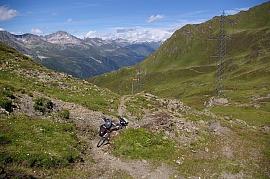 |
| Passo di San Giacomo - gegenüber / opposite: Passo della Novena (2478 m - 8130 ft) rechts /right: Pizzo Gallina (3061 m - 10043 ft) | Fun in den Bergen mountaineering fun near Passo San Giacomo - hinten von links / background from left: Nufenenstock - Passo della Novena - Pizzo Gallina - Pizzo Nero - Forcella | Alpe Formazzora - Val Bedretto - Pizzo Lucendro (2963 m - 9721 ft, halblinks / half left) - Pizzo Centrale (2999 m - 9839 ft) (Mitte hinten / background center) |
 |
 |  |
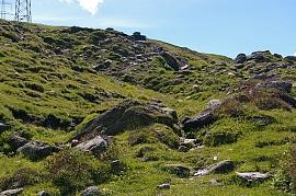
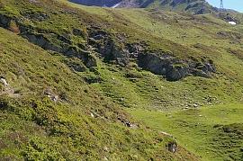
| Alpe Formazzora: mühsames Hinabbugsieren des Velo strenuous maneuvering of the bike | Alpe Formazzora Ri di Val d'Olgia (Bach /torrent) | Alpe Formazzora - Val Bedretto - von links / from left : Poncione di Manio - Chüebodenhorn - Pizzo Rotondo |
 |
 |
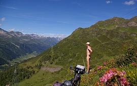 |
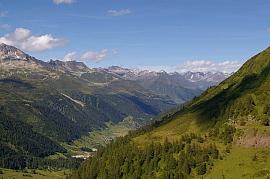
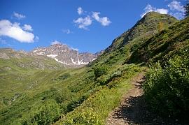
| Alpe Formazzora | Alpe Formazzora - Val Bedretto - von links / from left : Helgenhorn (Punta di Elgio 2837 m - 9308 ft) - Nufenenstock (2866 m - 9403 ft) - Passo della Novena (2478 m - 8130 ft) Pizzo Gallina - Pizzo Nero (2904 m - 9528 ft, Drachenrücken rechts / dragons back right) - Forcella | Alpe Formazzora - Stabbiasco - unbedeckte Wanderfreude in Tessiner Sonne / nude hiking fun in the sun of the ticino: Val Bedretto - Bedretto villagio - von links / from left: Pizzo Lucendro - Fibbia - Pizzo Centrale - Giübin - Mitte / center: Strada San Gottardo |
 |  |
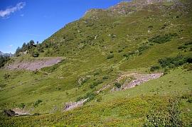 |
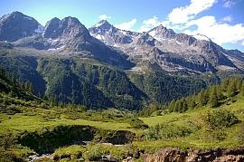
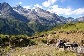
| Val Bedretto - Bedretto villagio (1402 m - 4600 ft) - von links / from left: Pizzo Lucendro - Fibbia (2739 m - 8986 ft) - Pizzo Centrale - Giübin (2776 m - 9108 ft) - Pizzo Barbarera (2804 m - 9199 ft) - Piz Alv - Piz Blas (3019 m - 9905 ft) - letzter Gipfel vor Alphang rechts / last peak before alp slope at right: Piz Rondadura (3016 m - 9895 ft) - Mitte / center: Strada San Gottardo - dahinter / behind: Val Tremola | Alpe Formazzora - Val Cavagnolo - Poncione Cavagnolo (2764 m - 9068 ft) | Alpe Formazzora - Stabbiasco |
 |  |
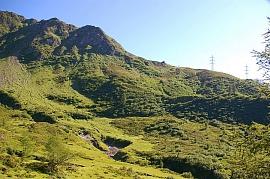 |
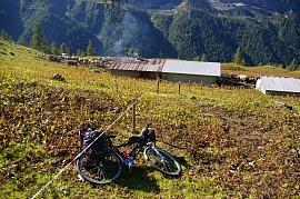
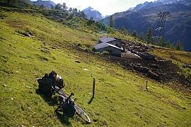
| Alpe Formazzora - Bach / torrent: Ri di Cavagnolo - gegenüber von links / opposite from left: Poncione di Manio - Poncione di Cassina Baggio - Chüebodenhorn - Pizzo Rotondo - Pizzo Pesciora | Alpe Formazzora - Bach / torrent: Ri di Cavagnolo - gegenüber von links / opposite from left: Poncione di Cassina Baggio (2860 m - 9383 ft) - Chüebodenhorn - Pizzo Rotondo - Pizzo Pesciora (3120 m - 10236 ft) - Pizzo Lucendro (ganz rechts / most right) | Alpe Formazzora - Val Cavagnolo |
 |  |
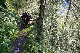 |
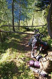
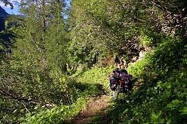
| Alpe di Stabbiasco (1914 m - 6280 ft) | Alpe di Stabbiasco Nufenenstock | Val Bedretto bei / near All'Acqua |
 |  |
 |
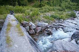
| Val Bedretto bei / near All'Acqua | Val Bedretto bei / near All'Acqua | Val Bedretto - Fiume Ticino - All'Acqua (1614 m - 5295 ft) |
 | Übersicht Passo di San Giacomo >> back to subindex >> | |
| Val Bedretto - Fiume Ticino |  Rainer Jehl Rainer Jehl |
| <<< zurück back |
Karte / map | Pilot | Kleine Ausfahrten Small Rides |
weiter >>> next |


